MONTGOMERY, Ala. — Alabama Gov. Kay Ivey issued a state of emergency for all 67 counties on March 16 ahead of a potential severe weather event.
"Projections are showing that this will likely be a widespread event, with some of the most severe weather anticipated late Wednesday night into early Thursday morning," Gov. Ivey said. "Please make preparations now in the event your area is impacted in some way. I will continue keeping a close eye on the system and encourage every Alabamian to do the same.”
According to the proclamation, the severe weather event forecasted for March 17 and March 18 is expected to cause significant damage to property and cause serious disruptions in essential utility services and systems.
The full proclamation can be read below:
According to WZDX Chief Meteorologist Jordan Dressman, the entire Tennessee Valley could see severe weather on Wednesday, including high damaging winds and long-track violent tornadoes.
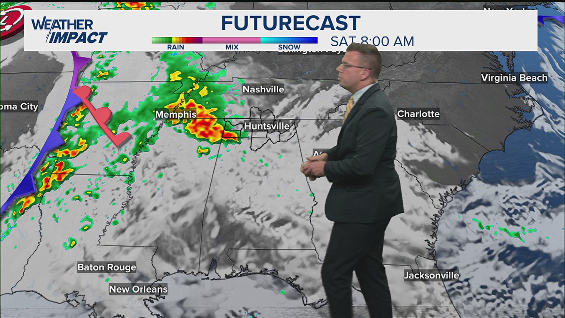
The severe weather is expected to come in three rounds on Wednesday.
Round one is a warm front that will lift northeast through the Tennessee Valley tonight and very early Wednesday morning. There is a chance for some strong or severe thunderstorms here and an isolated tornado or two. Round 1 has what could be considered the smallest tornado threat.
Round 2 looks to be the most dangerous with the most volatile air mass. It is also dependent on the warm front in Round 1 lifting far enough north. If it doesn't lift far enough north, then the threat would be somewhat lessened. On the backside of this warm front is an incredibly unstable air mass with ample shear and CAPE that nears 2,000j/kg. That is way more than sufficient for some very dangerous tornadoes. Round 2 comes with the best chance for the most violent tornadoes.
Many of the storms in Round 2 will be super-cells and not associated with a main line. Therefore it is very difficult to say who will and will not be affected so please know the entire Tennessee Valley stands a significant threat.
Round 3 will be the grand finale of sorts. It comes as a cold front moves through the Tennessee Valley with winds shifting even more southerly just ahead of the front. Ahead of the front will be a QLCS that will have embedded severe thunderstorms. Again, there is a threat for violent long-track tornadoes and damaging winds. In Round 3 there is a chance that the cold front moves slower and we lose some of that volatility thanks to a lack of daytime heating. While that is possible, our atmosphere should be so unstable that any loss will have little impact on our threat.
Make sure you have multiple ways to receive severe weather alerts, including downloading the WZDX News app and following our Twitter and Facebook accounts.
IN OTHER NEWS: Planning a hike? Make sure you stay safe


