
HUNTSVILLE, Ala — Another beautiful afternoon across the Tennessee Valley, though it was a touch on the humid end of the spectrum. Dew points this afternoon have been in the mid and upper 60s. Expect them to stay there at least through Thursday.
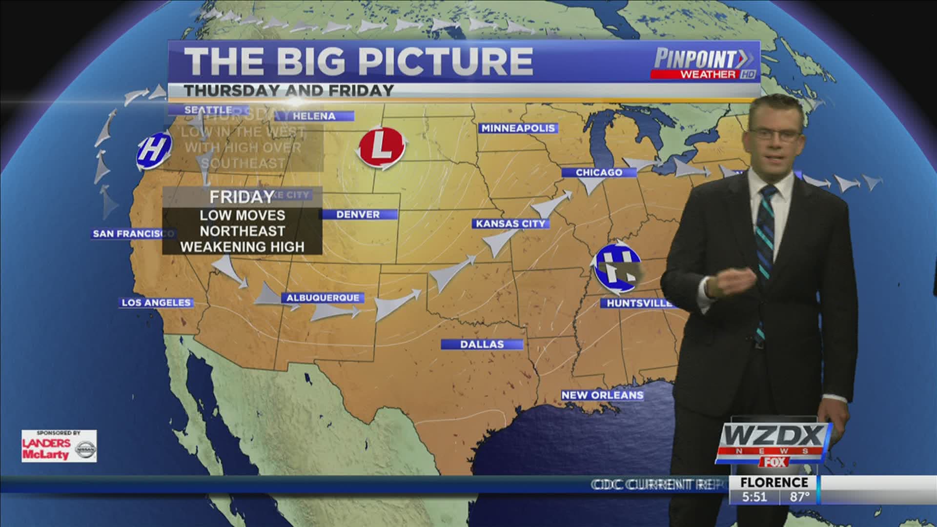
Thursday will begin to bring some change to the Tennessee Valley and we'll see rain move back into the forecast. An area of low pressure over the southwest will move northeast into the Great Plains. This will cause the high that has been parked over us the last several days to weaken and move east. With that eastern movement we should see some increased moisture under southeast flow. That will be most noticed on Friday.

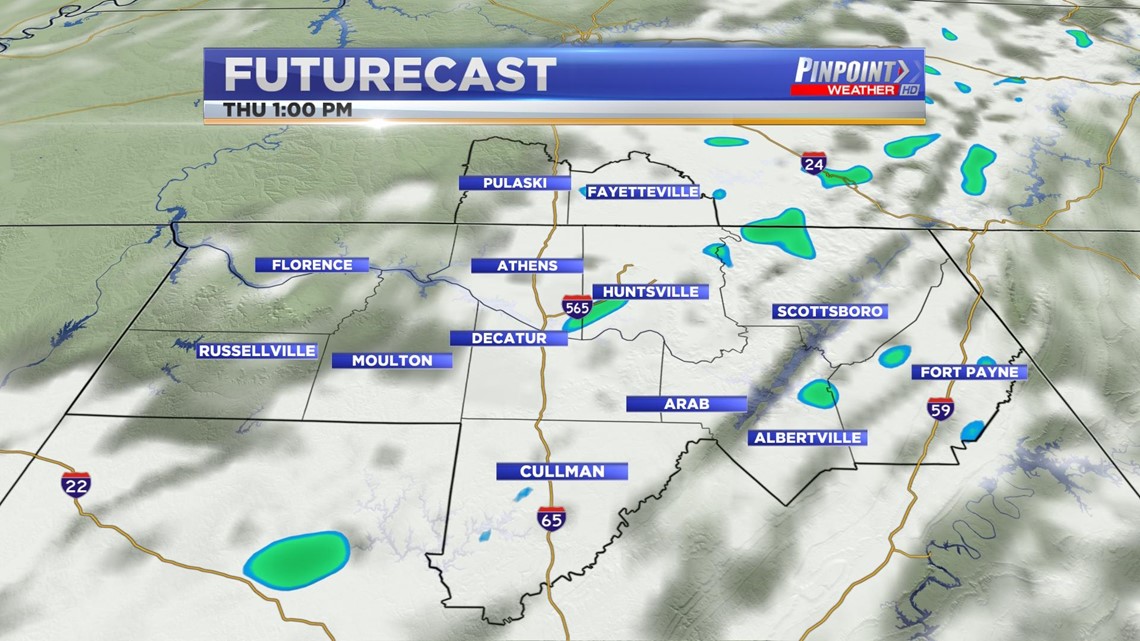
Rain showers will be possible on Thursday afternoon, but this activity should remain east of I-65 and still be isolated - widely scattered. Most of us will end up remaining dry. There are slightly better opportunities for rain Friday and then through the weekend.

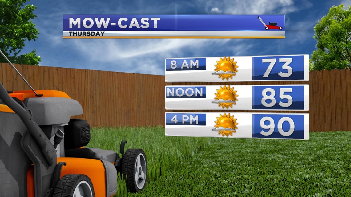
We'll warm into the mid and upper 80s tomorrow afternoon with a few folks seeing 90°. Those with the best chance of seeing 90° are those west of I-65 that can avoid the haze and cloud cover.
The haze is actually a result of wildfires in the west. The aforementioned high has trapped some of that smoke in the Tennessee Valley. Conditions are obviously much worse out west.