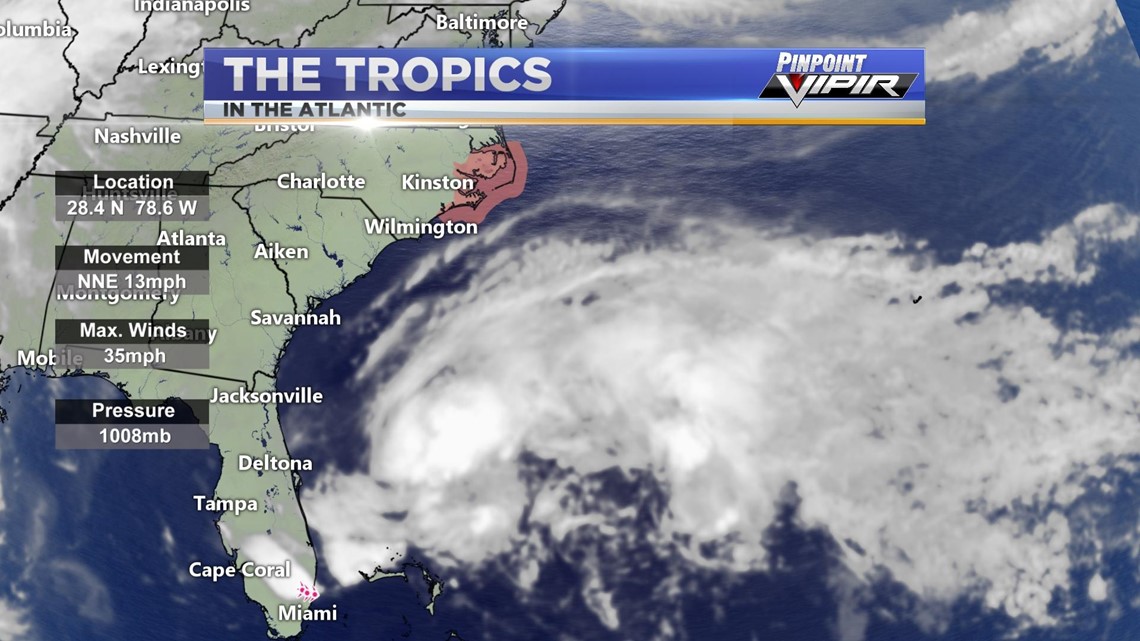
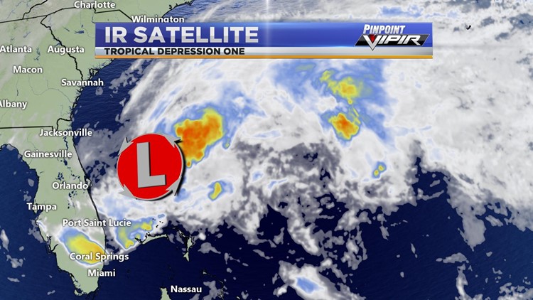
HUNTSVILLE, Ala. — Tropical Depression One has now formed in the Atlantic ocean, just off the east coast of Florida. This particular disturbance won't bring any impacts to Alabama, but will bring very heavy rainfall and tropical-storm-force winds along the Atlantic coast.


RELATED: 2020 Atlantic Hurricane Season
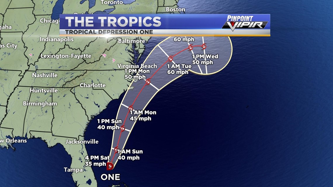
As of right now, maximum sustained winds are holding at a steady 35 mph but are expected to increase as it continues to intensify in the warm, Atlantic ocean. Tropical Storm One will continue on a NNE past of 13 mph and eventually make its way back out to sea. A Tropical Storm Watch (shaded in red) has been issued ahead of the storm moving towards the North Carolina coast. Dangerous coastal surf conditions as well as rip currents are to be expected.


By early tomorrow morning, we could potentially be dealing with our first named storm of the season, Tropical Storm Arthur. This disturbance isn't expected to reach hurricane status as it should only reach 60 mph maximum sustained winds around early Tuesday morning before it parts back out into the Atlantic Ocean.
RELATED: WZDX has a new app; download it here


