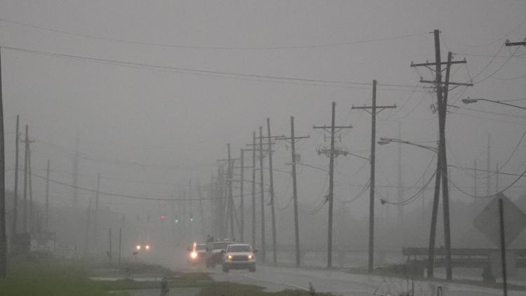
NEW ORLEANS — Francine made landfall in Louisiana late Wednesday afternoon as a Category 2 hurricane.
Landfall happened around 5 p.m. in Terrebonne Parish with winds of up to 100 mph and gusts a little higher.
In the city of New Orleans, the gusts were expected between 50-60 miles per hour, which would likely lead to downed trees, debris and power outages. City leaders said the surge could affect roads in New Orleans East outside of levee system. City officials have asked people to "shelter in place" and stay off of the streets.
Track the storm using our interactive radar, and keep up with live updates here.
Several webcams along the Gulf Coast and in southeast Louisiana could show signs of the storm as it moves through our area:
Terrebonne Parish webcams:
Louisiana Universities Marine Consortium (LUMCON) North Tower
LUMCON West Tower
LUMCON East Tower
LUMCON South Tower:
New Orleans Live Balcony View (via Earthcam)
Mike the Tiger cam at LSU in Baton Rouge
Department of Transportation Traffic cams
Click here to access traffic cameras along Louisiana interstates and highways. Use the search feature to find cameras by location.
Grand Isle webcam
South Padre Island beachcam
Francine live coverage
When will Hurricane Francine leave Louisiana?
After making landfall, Francine will move through the state relatively quickly. Forecasts show it out of the state by Thursday morning.


